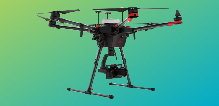
A flying standard for survey accuracy and speed
Join Steve Cairns and learn how to deploy a survey UAV to benefit especially on large scale projects. When complete confidence in accuracy and speed you can rely on as a survey workflow.
Flying at higher altitudes for when less time on site, safety and efficiency are put first. The Leica Aibot AX20 now with a new Leica Infinity subscription-based software model provides a large-scale mapping UAV easily deployable on any scale project.
Intuitive, trusted and confidence to fly all rolled into one with state-of-the-art Leica GNSS positioning technology and airframe durability creates an all in one UAV surveying solution.

