Adopting utilities Mapping using the Stream C
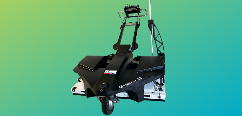
A practical demo of the Stream C GPR system showing its ease of use alongside the integration into Leica GNSS and TS solutions. The stream C is a compact array solution for real-time 3D mapping of underground utilities and features.
The Stream C system features 32 antennas in two polarisations allowing large areas to be covered quickly creating high productivity. The Stream C is the system to allow professional subsurface surveys to be carried out.

