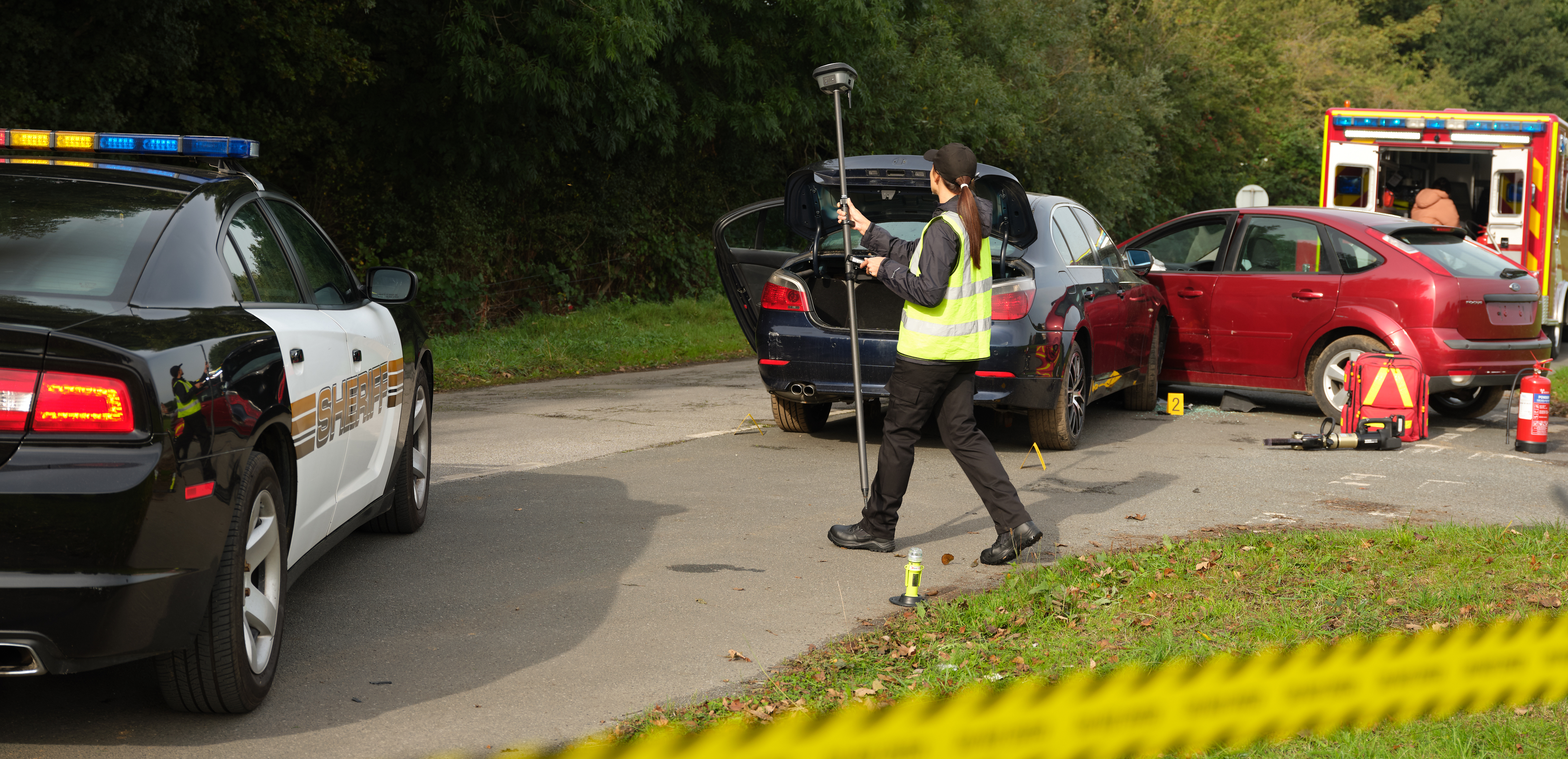
What if your GNSS RTK rover could see? How would that change your ability to document crime and crash scenes?
The new GS18 I GNSS RTK rover with visual positioning promises to dramatically increase efficiency by enabling you to measure hundreds of points in minutes, reach previously inaccessible points, and capture points from a safe distance. Essentially, the GS18 I rover can see. But what does this new capability mean for public safety?
This interactive PDF answers some of the most common questions about the new technology and challenges what you think you know about using GNSS for crime and crash scene documentation. You’ll learn:
- How this innovation is different from any other imaging solution
- How the technology compares to laser scanning, total stations and drones
- How to capture an entire scene in minutes and get every detail from the imagery
- How to optimize on-scene and in-office workflows to maximize efficiency gains
- How GNSS with visual positioning creates a simplified path to increasing the safety, speed and completeness of scene documentation
Download your copy now and explore the true potential of this groundbreaking GNSS innovation.
Ready to talk to an expert? Contact us now for a complimentary consultation.
Learn More

